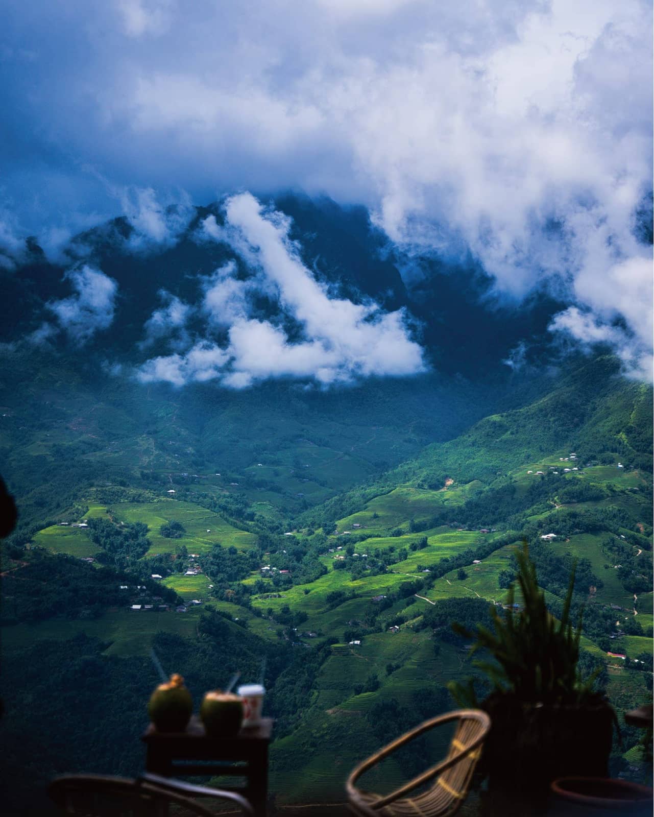
Weather and elevation change my Sapa photographs most. Clouds hide a ridge, then briefly reveal fields and villages; a valley seen from above feels different from a path inside it.
These four places move visually from high viewpoints to a village-scale view. Mountain weather and access can change, so check local official guidance before visiting.
Best View Sapa — layers across the valley
From above, nearby tables and visitors, fields and homes, then distant ridges and clouds occupy separate layers. A small human figure helps show the valley's scale.
Low cloud keeps changing the outline of the mountain even from one position. Wait a little before abandoning a composition.
View Best View Sapa photos ↗O Quy Ho Sky Gate — fields and a distant ridge
Fields, greenhouses and small homes step across the slope beneath distant mountains. Agricultural lines in the foreground add depth against the softer ridge.
Include a road or village below the clouds to show the route through this landscape.
View O Quy Ho Sky Gate photos ↗Rong May Glass Bridge — measuring the valley with a structure
The cliffside bridge, observation tower and forest below make the height tangible. Pair a view of small figures on the glass with a broader frame of the mountain.
Choose secure footing and follow on-site guidance before composing a photograph. Check current access rules in advance.
View Rong May Glass Bridge photos ↗Cat Cat Village — looking up from a lived-in place
In the village, streams, wooden bridges and hillside homes replace the distant panorama. A person crossing a bridge or flowing water in the foreground gives the scene a human pace.
Looking back up at the mountain turns the wide terrain of the earlier viewpoints into the scale of a lane and a house.
View Cat Cat Village photos ↗